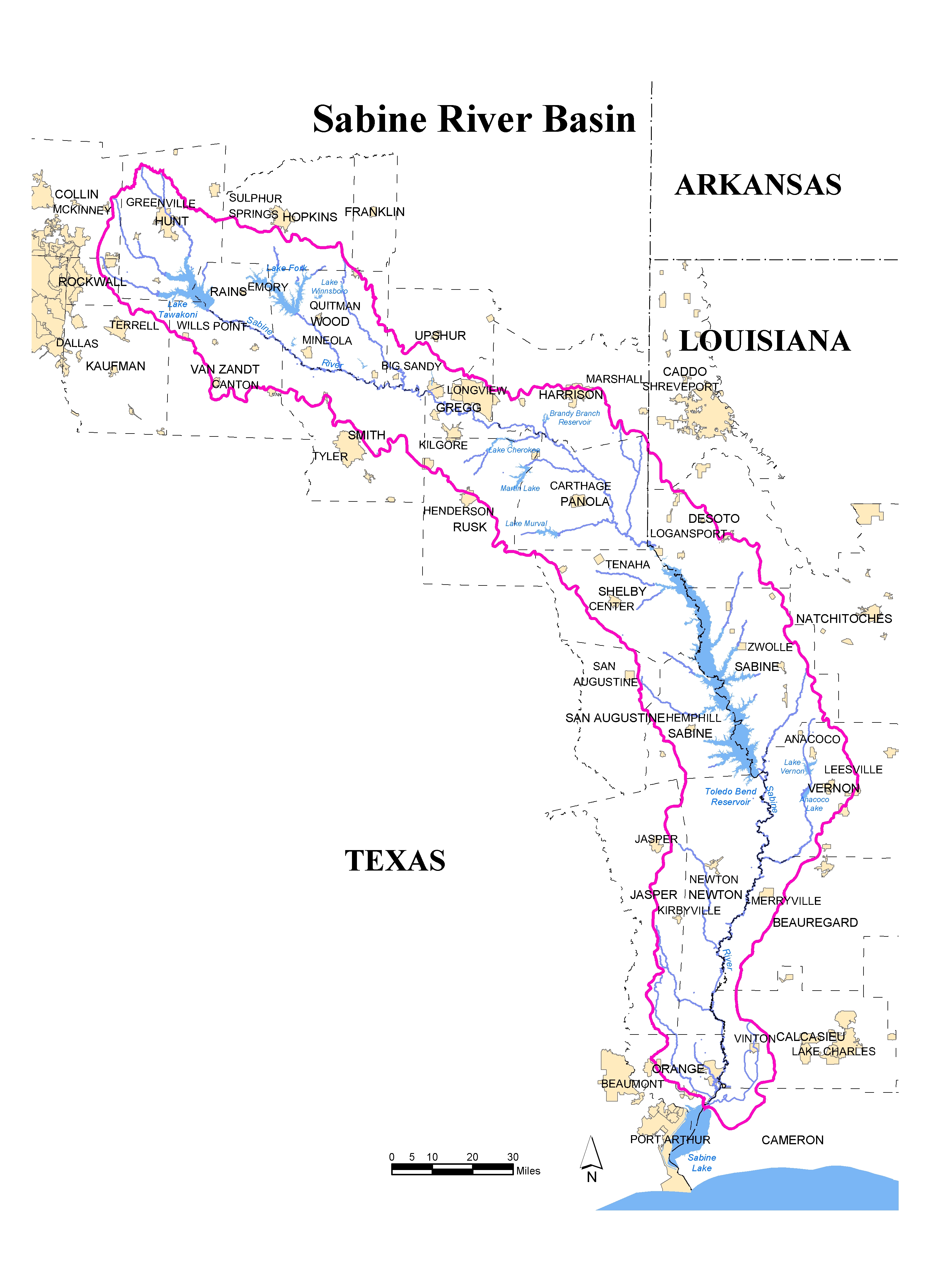
The Sabine River Basin in Texas, extending from its source in northern Hunt County to its mouth at Sabine Lake, is about 300 miles long and is up to 48 miles wide. Average historic rainfall ranges from 44-inches near the headwaters to 56-inches at the mouth and land surface elevation rises from just above sea level near the mouth up to around 700 feet above sea level at the headwaters. Weather, reservoir, and river conditions can vary substantially due to the length and topography of the Basin.

