
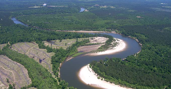
Sabine River Authority of Texas
Reservoir Water Surface Elevation
Above NGVD 1929,feet, [30-Minute Updates]
Advisories, Notices, News, and more
The News section posts the latest Sabine Basin advisories, news, notices, SRA-TX bid opportunities, and SRA-TX career opportunities to keep you informed.
SE Texas R.A.I.N.
Southeast Texas Regional Alerting & Information Network site displays rainfall, streamflow, and stream and reservoir levels in major streams, bayous, and reservoirs compiled from many data sources which include the USGS and NWS.
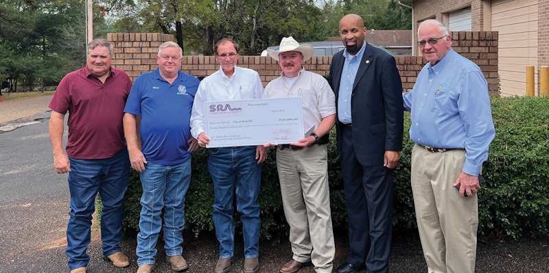
Economic Development
SRA-TX's Community Assistance Program (CAP) provides competitive grants that will complement or leverage water project funds for eligible entities within the Sabine River Basin.
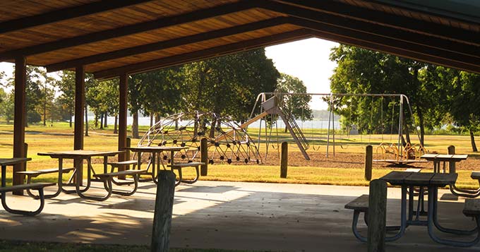
Parks & Recreation
SRA-TX reservoirs and parks provide recreation opportunities for fishing, boating, swimming, picnics, camping, and other outdoor fun.